

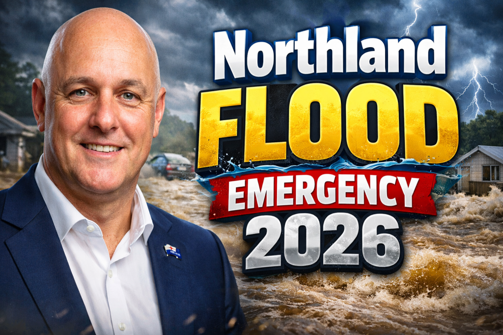
Heavy rains and relentless storms battered New Zealand’s Northland region in mid-January 2026, unleashing floods that isolated communities and tested emergency networks. In the face of severed roads, power outages, and rising waters, iwi marae emerged as vital lifelines, offering shelter, food, and cultural strength to those displaced.
Storm Onset and Flood Dynamics
The crisis unfolded from January 15 as a slow-moving low-pressure system stalled over the Tasman Sea, colliding with tropical moisture from the Coral Sea. Northland received up to 200mm of rain in 24 hours, swelling rivers like the Wairoa and Kaipara Harbour beyond capacity.
Whangārei District declared a preemptive state of emergency on January 20, followed by activations in Far North and Kaipara areas. Saturated soils from prior wet summers amplified runoff, turning streams into torrents that breached stopbanks and inundated low-lying farms and homes.
Unlike flash floods, this event featured prolonged deluge, with hourly bursts exceeding 60mm. MetService labeled it a once-in-a-century downpour, fueled by warmer Tasman Sea temperatures linked to La Niña patterns.
Extent of Damage Across Northland
Floodwaters submerged State Highway 1 north of Whangārei, stranding motorists and cutting access to remote bays. Over 45,000 homes lost power, while slips blocked secondary roads in Kawakawa and the Bay of Islands.
Far North communities south of Kaitaia faced the worst isolation, with 90 households cut off by the weekend. Agricultural losses mounted as paddocks drowned, livestock perished, and orchards washed away. Early tallies reported dozens of vehicles swept off roads and seven people initially missing from related slips.
The table below captures key impact metrics from the first week:
| Impact Category | Estimated Scale | Affected Areas |
|---|---|---|
| Homes Flooded | Over 500 | Whangārei, Dargaville |
| Power Outages | 45,000 households | Far North District |
| Road Closures | 25+ sections, including SH1 and SH10 | Kawakawa to Paihia |
| Evacuations | 1,200+ people | Kaipara Harbour settlements |
| Agricultural Losses | Thousands of livestock, crop fields | Dairy and horticulture zones |
Initial fatalities included two from a Papamoa slip tied to the same weather front, underscoring the event’s severity.
Iwi Marae as Lifeline Hubs
Marae, traditional Māori meeting grounds, activated instantly as civil defense centers. Te Hou Ora Marae in Whangārei sheltered over 150 evacuees, transforming wharenui into dormitories and wharekai into communal kitchens.
In the Far North, Ōtāmurea Marae near Kawakawa hosted 80 whānau, distributing blankets, hot meals, and emotional support. Iwi leaders coordinated helicopter drops for medicine and baby formula, bridging gaps left by impassable roads.
These hubs provided more than basics—they offered cultural grounding. Karakia opened daily gatherings, while kaumātua shared stories of past floods, fostering resilience. Unlike temporary welfare centers, marae operate 24/7 with deep community ties.
Personal Stories of Survival and Solidarity
Ripeka Ngawaka, a mother from Dargaville, fled rising Kaipara waters with her three tamariki, arriving at Te Hou Ora soaked and shaken. “The marae whānau wrapped us in korowai and fed us until we felt human again,” she shared, crediting the space for healing after losing furniture and memories.
Elder Tame Wihongi of Ōtāmurea recalled the night: “Waters lapped at doorsteps by midnight; we loaded utes with elders first.” His team boiled river water for sterilization once power returned, embodying whanaungatanga—kinship in action.
A young farmer from south of Kaitaia, whose herd halved overnight, bunked at a Paihia marae. “They didn’t ask questions; just handed me a plate and a bed,” he said, highlighting unspoken empathy amid loss.
Coordination and Government Response
Iwi partnered seamlessly with Northland Civil Defence, Gisborne Mayor Rehette Stoltz, and Emergency Minister Mark Mitchell. Helicopters airlifted supplies to marae, prioritizing isolated pockets east of Kawakawa.
National Emergency Management Agency deployed welfare teams, but marae handled frontline logistics. Council CEOs like Nedine Thatcher Swan praised iwi networks: “They know every whānau, every need before we arrive.”
Power restoration prioritized marae, with Vector crews working round-the-clock. By January 24, most hubs had electricity, enabling hot showers and charging stations.
The table outlines response layers:
| Response Layer | Key Actions | Lead Entities |
|---|---|---|
| Immediate Shelter | Bedding, meals, first aid | Iwi marae collectives |
| Logistics Support | Food drops, transport | Civil Defence, helicopters |
| Medical/Welfare | Health checks, counseling | District Health Board |
| Infrastructure | Road clearance, power fixes | NZTA, utility companies |
| Long-Term Aid | Damage assessments, grants | Government relief funds |
Challenges in Remote Areas
Northland’s rugged terrain exacerbated isolation. South of the Far North District, slips buried culverts, delaying access for days. Whānau in hapū lands relied solely on marae runners via four-wheel drives.
Communication blackouts hit hardest; cell towers failed under load. Marae radios and satellite phones filled voids, relaying welfare updates to NEMA.
Vulnerable groups—elderly, disabled, single parents—faced heightened risks. Marae adapted with dedicated kaumātua rooms and tamariki play areas, preventing trauma escalation.
Community Resilience and Cultural Strength
Northland’s response drew on tikanga Māori, where manuhiri (visitors) become whānau overnight. Shared workloads—peeling potatoes, minding children—rebuilt bonds strained by disaster.
Marae kitchens scaled up, serving three meals daily plus kai mō te tinana (nourishment for body and spirit). Volunteers from unaffected iwi arrived with truckloads of donations, turning tragedy into unity.
This model echoes Cyclone Gabrielle’s aftermath, where marae housed thousands. It proves scalable, cost-effective aid rooted in place-based knowledge.
Long-Term Recovery Pathways
Reopening SH1 and SH10 demands weeks of earthworks, with NZTA estimating massive slip clearances. Homes require silt removal, mold treatment, and rebuilds eligible for government grants.
Iwi-led recovery plans emphasize resilient infrastructure: elevated whare, community flood barriers, and early-warning apps tied to marae networks.
Economic fallout hits tourism and farming hardest. Marae pivot to job training, linking whānau with relief contracts like road repairs.
The table projects recovery phases:
| Recovery Phase | Duration | Focus Areas |
|---|---|---|
| Emergency Relief | 1-2 weeks | Shelter, food, utilities |
| Stabilization | 1-3 months | Road access, home cleanups |
| Rebuild | 6-12 months | Infrastructure, economic support |
| Resilience Building | Ongoing | Climate adaptation, training |
Lessons for National Preparedness
Northland’s floods signal intensifying climate risks, with models forecasting wetter extremes. Marae’s success advocates integrating iwi into national frameworks, funding upgrades like generators and storage.
Government reviews highlight preemptive declarations’ value, as in Whangārei. Cross-agency drills with iwi ensure smoother activations next time.
Ultimately, this emergency showcased Northland’s fortitude. Iwi marae not only sheltered bodies but mended spirits, proving cultural anchors endure where others falter. As waters recede, communities rise renewed, ready for whatever storms lie ahead.

Vineeth T.C. is a news writer and digital content contributor at PageEuropean, covering key developments across New Zealand and Australia. His work focuses on delivering clear, fact-based reporting on current affairs, public policy, business updates, and regional news that matter to readers.